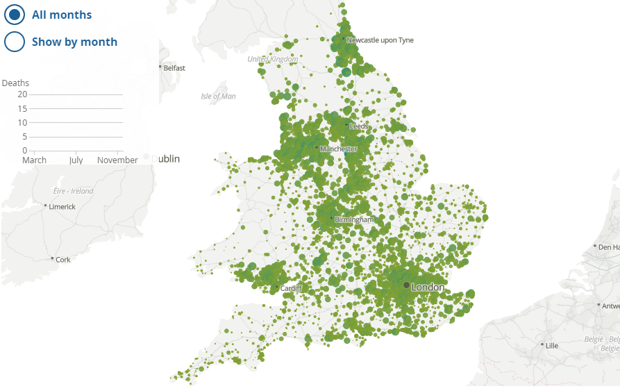
According to government reports, Covid-19 has spread across the vast majority of neighbourhoods in England and Wales.
The ONS has published an interactive map which allows you to see the number of deaths occurring in the period March to November 2020, where COVID-19 was mentioned as a cause on the death certificate.
Now we know that there is controversy with regards to how Covid is being defined and many stats are now deaths ‘within 28 days of a positive test’ however, that aside you can enter your postcode or interact with the map to see the number of deaths in any area.
The size of the circle represents the number of deaths, we would be interested to hear in the comments below how many are in your postcode area.


